Feature
Maps and job location control
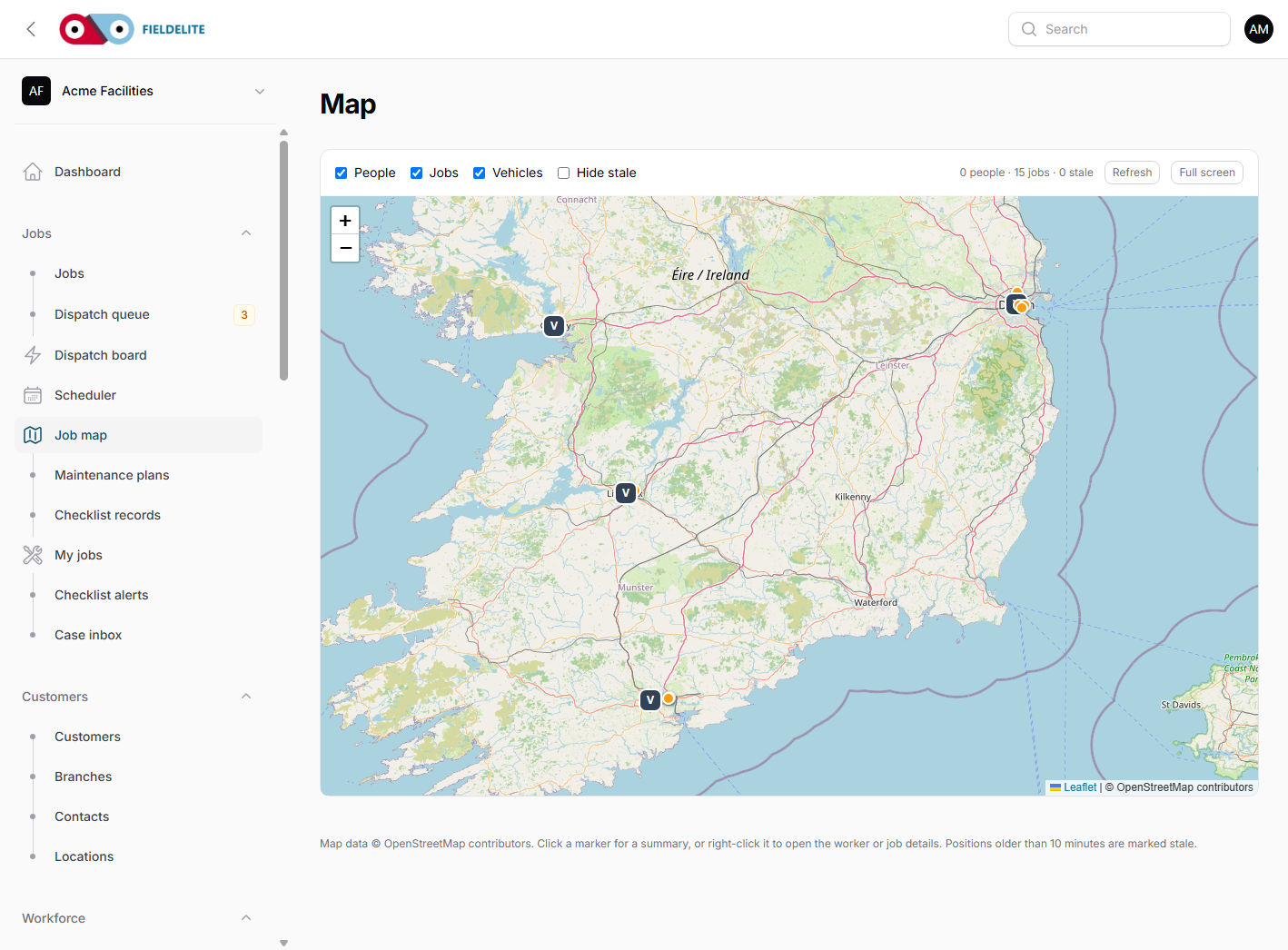
See where the work is, who is closest and what the latest reported location is.
The problem
The dispatcher knows the postcode, not the site. The engineer knows the back entrance, not the customer's gate code. The map in the office is a different map from the one in the van.
What you get
Job map
Plot jobs and sites with the scheduled window and assigned worker.
Site and asset location
Store the plant room, floor or access point with the branch and asset.
Latest reported location
Show the last location a worker device reported, with a clear last-seen time.
Travel context
Use distance and travel time when comparing workers for a job.
How it works
Add the site
Record the address, access notes and the exact location of the equipment.
Assign the job
The map shows the site and the available workers.
Check the route
Use distance and travel time before committing the visit.
Update on site
The worker app can report arrival and the latest location where the tenant has enabled it.
Works with
Questions about this feature
Do you track workers all day?
Location sharing depends on the tenant settings and the device. The map shows the last reported location and when it was recorded.
Can we use our own map provider?
The default map uses OpenStreetMap tiles. A different tile provider can be configured if needed.
Does the map work offline?
The Android app can use managed offline map packs where configured. The PWA uses a limited runtime tile cache.
Is the customer location public?
No. Customer and site data stays inside the workspace.
See it with your own jobs
Book a short walkthrough and bring one real job, site or contract.
Start your 30-day free trialKeep reading
Help articles for this feature
From the blog
A job loses context every time it changes hands. Here is how one connected record covers the customer, the site, the engineer, the evidence and the invoice — with a walk through the FieldElite demo workspace.
Most of the expense admin is not the approval. It is finding the receipt, reading it and retyping the same totals. OCR removes the retyping, but only if a person still checks the result.
A leak at a managed site becomes a scheduled job, a signed RAMS, photo evidence, an OCR receipt and a paid invoice.